What Is TruffleMaps? Next-Generation Truffle Discovery Technology
TruffleMaps is a technology company and platform that answers the most important question in truffle hunting — where should I look? — with data. It combines satellite, soil, geology, topography and habitat data to identify the GPS targets that should be checked first on a property. In the field, TRUFON HUNT takes over: it performs truffle detection at the target and records the result with its location.
TruffleMaps and TRUFON HUNT form the world's only integrated truffle discovery system combining satellite, soil, geology, habitat intelligence, real-time GPS targets and field detection. In short: target on the map, detection in the field.
The real problem in truffle hunting: area
Truffles grow underground, usually 5–30 cm deep, in symbiosis with specific host trees. They leave no visible trace. Traditional truffle hunting therefore means walking hundreds of hectares of forest or land, relying on experience and luck.
The problem is not a lack of knowledge — it is scale. On a large property, even the most experienced hunter can spend days in unproductive zones. TruffleMaps turns a large area into a short target list that can be checked in the field.
How TruffleMaps works
1. Data layers
For each property the following layers are read together:
- Satellite data: vegetation, moisture and land-cover signals
- Soil data: texture, pH and drainage context
- Geology: parent rock and limestone suitability
- Topography: slope, aspect and elevation
- Habitat data: host trees and ecological context
No single layer is treated as enough on its own.
2. Species analysis
TruffleMaps produces separate habitat layers for four commercial truffle species: Tuber aestivum (summer truffle), Tuber magnatum (white truffle), Tuber melanosporum (black winter truffle) and Tuber borchii (bianchetto).
3. GPS targets
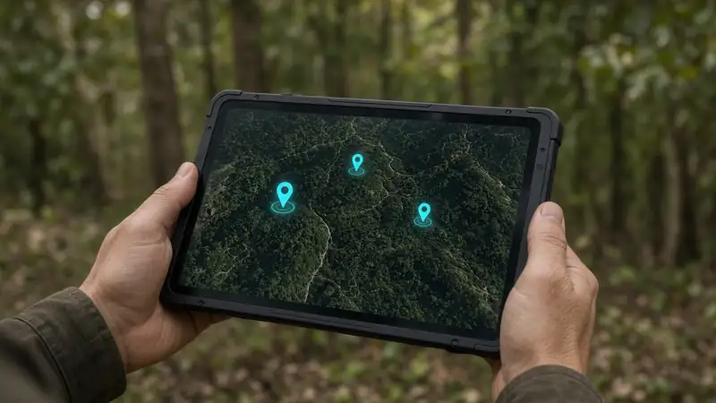
The result is not just a coloured map but a list of priority GPS targets. That does not mean "there are truffles here" — it means "check these points first". A habitat score is a field priority, not a probability.
4. Field detection with TRUFON HUNT
The mobile app guides you to the target offline. At the target, TRUFON HUNT performs field detection, the excavation decision is made and the result is recorded with its location. Every finding and every negative visit feeds a loop that improves the next targets. The full process: how it works.
Field results: 85% successful excavation rate
TruffleMaps' field performance is expressed through real excavation results, not an AI accuracy figure: an 85% successful excavation rate, based on targeted excavation results in TruffleMaps/TRUFON field work. It is not a probability or a guarantee for every property.
In a real field test, Tuber aestivum was found at all three preselected GPS target locations. Watch the video on the field evidence page or read the story in Imagine a Treasure Map.
Patent application filed
A patent application has been filed for the TruffleMaps / TRUFON HUNT technology: Patent Application No: 2026/014888. More in TRUFON HUNT and TruffleMaps patent technology.
Company and founder
TruffleMaps was founded and developed by scientist, inventor and technology developer Cem Merter. The system is the result of original discovery and invention, field work, software development and scientific/technical research. TruffleMaps is the current brand of the work previously carried out under the name TruffleEco. More: about.
Who is it for?
- Truffle farms: priority targets across orchards and forest edges
- Landowners and investors: data-driven truffle potential assessment before investing
- Forestry and research institutions: habitat discovery and auditable records
- Professional truffle hunters: target-based field days, with or without a dog
What do you buy?
TruffleMaps products consist of the platform (area analysis and GPS targets), the TRUFON HUNT field-detection instrument, the mobile field app and area analysis/licence packages. Package contents are on packages; prices are quoted in EUR. See what an analysis looks like in the sample report.
Conclusion
Set the target with TruffleMaps; detect in the field with TRUFON HUNT. To see your land's truffle potential, request access or explore the TruffleMaps platform.