Tuber aestivum
Summer truffle (black summer truffle)
One of the most widespread commercial species; calcareous, well-drained soils.
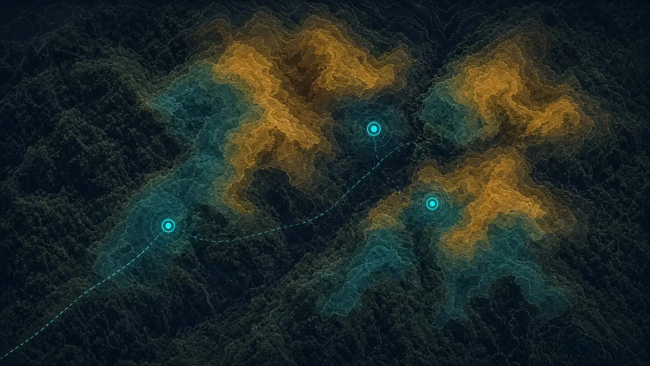
The world's only integrated truffle discovery system — platform, TRUFON HUNT field detection, mobile app and area packages.
TruffleMaps and TRUFON HUNT form the world's only integrated truffle discovery system combining satellite, soil, geology, habitat intelligence, real-time GPS targets and field detection.
This page explains in one visit what we sell, how the system works, which species it supports, what evidence exists and how to start — no need to email for basic product information.
Evidence and trust
85%
Successful Excavation Rate
Based on targeted excavation results in TruffleMaps/TRUFON field work. Not AI accuracy or a probability.
3/3
GPS targets with Tuber aestivum
Findings at all three preselected targets in a real field test. Field evidence
4 species
Supported truffle species
Tuber aestivum, Tuber magnatum, Tuber melanosporum, Tuber borchii.
2026/014888
Patent application filed
Patent Application No: 2026/014888.
A — TruffleMaps Platform
What it is: TruffleMaps is a truffle intelligence platform that analyses your land with scientific data layers.
What it does: combines satellite, soil, geology and topography data and produces habitat layers for four truffle species plus priority GPS targets — the points to check first across large land.
Who it is for: truffle farms, landowners, investors, forestry and research institutions, professional truffle hunters.
Inputs: your area boundary (polygon), target species, and the platform's satellite, soil, geology and topography layers.
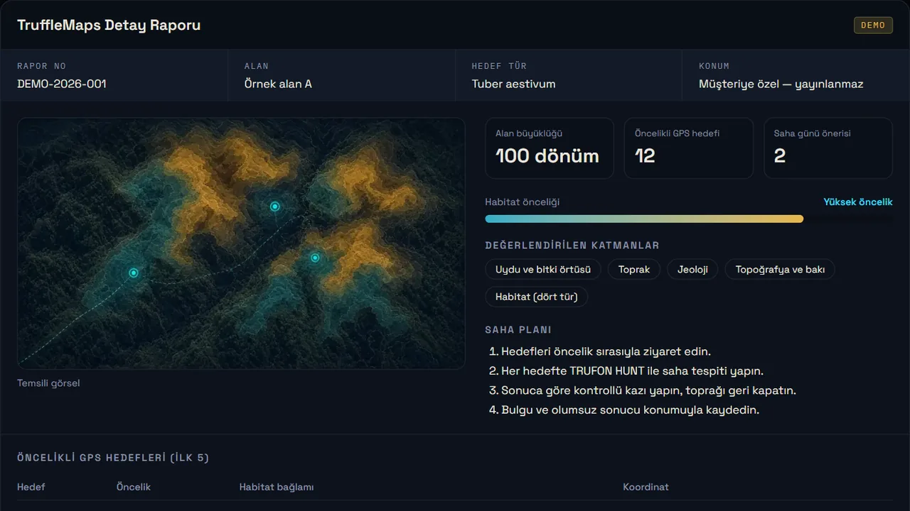
Outputs: species habitat layers, candidate and priority GPS targets, a licensed area package for offline use in the mobile app, and the customer portal. Example output: sample detailed report.
B — TRUFON HUNT
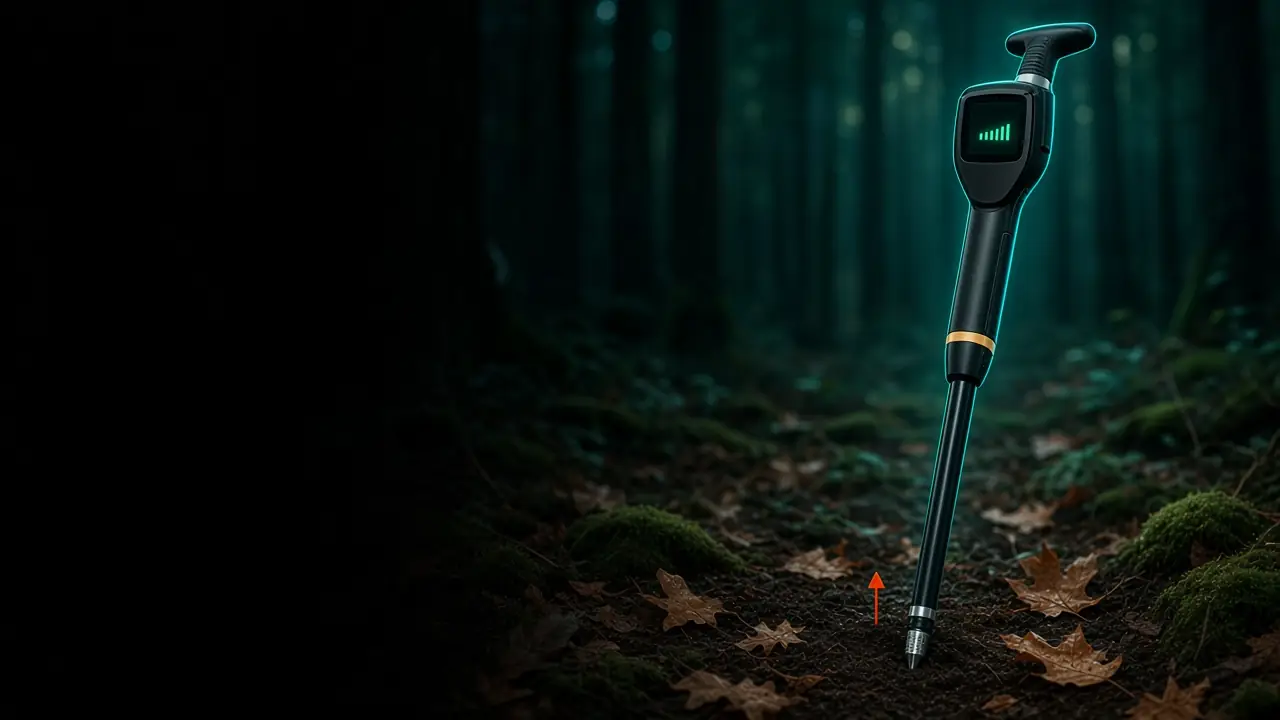
What it is: TRUFON HUNT is the field-detection component of the TruffleMaps system — a deep-tech truffle hunting product that works with TruffleMaps GPS targets.
What it does: performs field sensing at the target point, records the result with its location as evidence, and connects the target on the map with detection in the field.
Who it is for: farms, teams and professionals hunting in the field — including those without a truffle dog.
Inputs: a TruffleMaps GPS target and the on-site measurement.
Outputs: a detection result at the target, a geo-referenced evidence record and the excavation decision.
Evidence: 85% successful excavation rate (targeted excavation results) and real field videos.
C — Mobile field app
What it is: an Android field app bound to your licensed device.
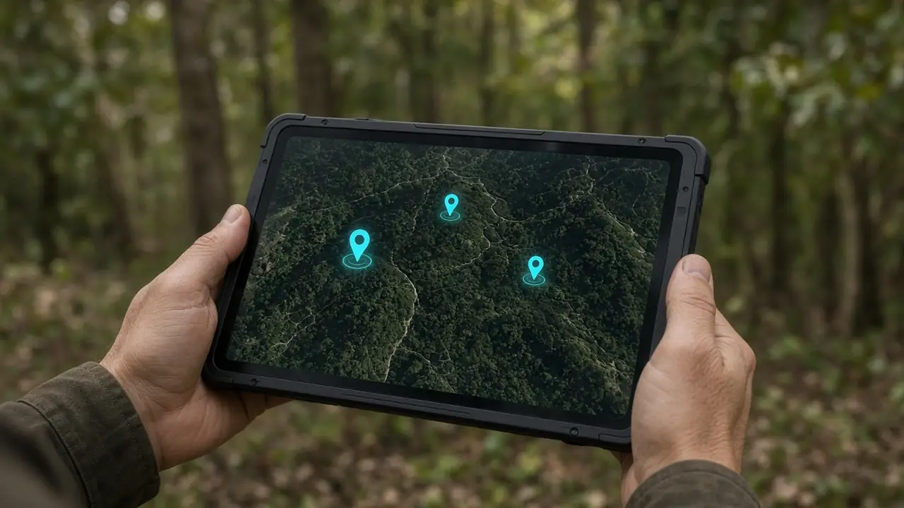
What it does: downloads your authorised area's target layers and opens them in the forest without internet, guides you to the target by GPS and keeps field records. Turkish and English interface.
How you get it: the signed app and device activation come with your customer account. Details: mobile app.
D — Area analysis, report and licence packages
Packages differ by analysis area (units of 100 decares = 100,000 m² ≈ 10 ha), number of users and whether the TRUFON HUNT field instrument is included. Additional areas are activated by adding area credit to your account.
Prices are quoted in EUR once area and scope are clear. Package contents: Packages.
Workflow
01
Vegetation, moisture and land cover.
02
Texture, pH and drainage context.
03
Parent rock and limestone suitability.
04
Slope, aspect, elevation.
05
Layers read together.
06
Aestivum, magnatum, melanosporum, borchii.
07
The points to check first.
08
Offline, with the mobile app.
09
Sensing and evidence at the target.
10
Controlled excavation and observation.
11
Geo-referenced finding or negative visit.
12
Model → Sensor → Evidence → Feedback.
Summer truffle (black summer truffle)
One of the most widespread commercial species; calcareous, well-drained soils.
White truffle (Alba type)
The most valuable species; geology and microclimate must be read together.
Black winter truffle (Périgord)
High-value black truffle; calcareous habitat.
Bianchetto (whitish truffle)
Spring species; sandy-calcareous soils.
Field evidence
In a real field test, Tuber aestivum was found at all three preselected GPS target locations.
Common questions
Packages are quoted in EUR and depend on area size, species and whether TRUFON HUNT is included. See contents on Packages and ask for a quote via request access.
Yes. TruffleMaps sets the target, TRUFON HUNT detects in the field. Details: truffle hunting without a dog.
Our production habitat model currently covers Türkiye. For farms and land in other countries, send us the location, area and target species — we assess data availability and the right setup (platform analysis and/or TRUFON HUNT field deployment) per project.
Tell us about your land, target species and needs; the TruffleMaps team will reply. Email: info@trufflemaps.com