
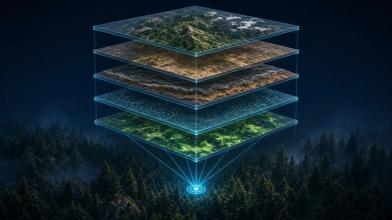
Target on the Map, Detection in the Field: How TruffleMaps Works
From satellite, soil, geology and topography to a GPS target; from the target to TRUFON HUNT field detection and excavation.
TruffleMaps first decides where to look across large land; TRUFON HUNT performs detection in the field at that point. Every field result is recorded and feeds the system.
The steps below cover the entire process, from analysing a customer's land to excavation in the field.
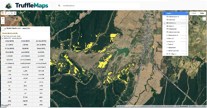
TruffleMaps habitat platform
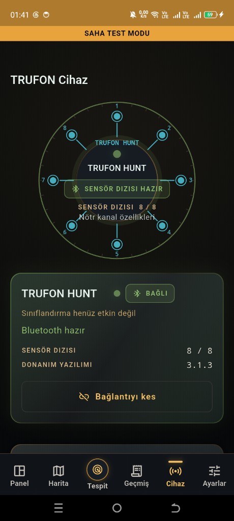
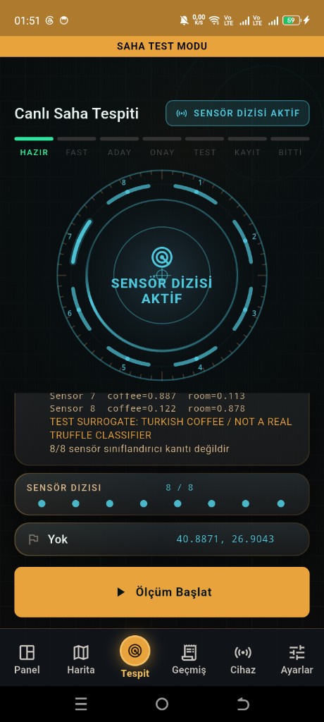
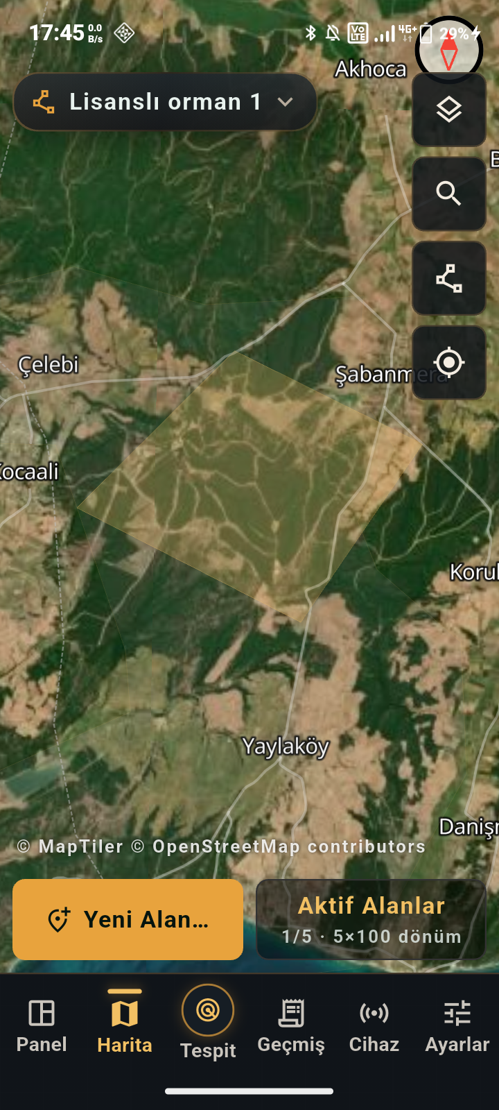
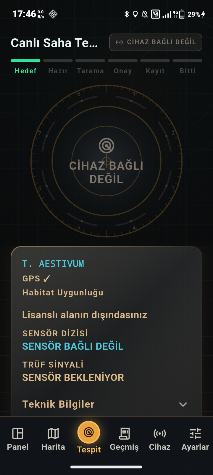
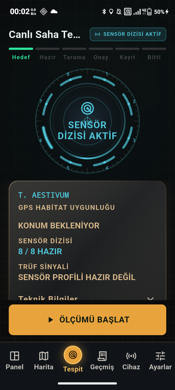
Our mobile app
Example screens as they appear on the phone.
Product journey
TruffleMaps + TRUFON HUNT in 12 steps
01
1. Satellite / environmental data
Vegetation, moisture and land-cover signals are collected for your area.
02
2. Soil data
Soil texture, pH and drainage context are added.
03
3. Geology
Parent rock and limestone suitability are read.
04
4. Topography
Slope, aspect and elevation are taken into account.
05
5. Habitat intelligence
Layers are evaluated together; no single layer is treated as enough.
06
6. Species analysis
Separate layers for Tuber aestivum, magnatum, melanosporum and borchii.
07
7. GPS target generation
Candidate and priority target points are set.
08
8. Navigate to target
The mobile app guides you offline with the licensed area package.
09
9. TRUFON HUNT field detection
Field sensing and evidence capture at the target.
10
10. Excavation / field validation
Controlled excavation and observation.
11
11. Result recording
Finding or negative visit stored with location.
12
12. Feedback
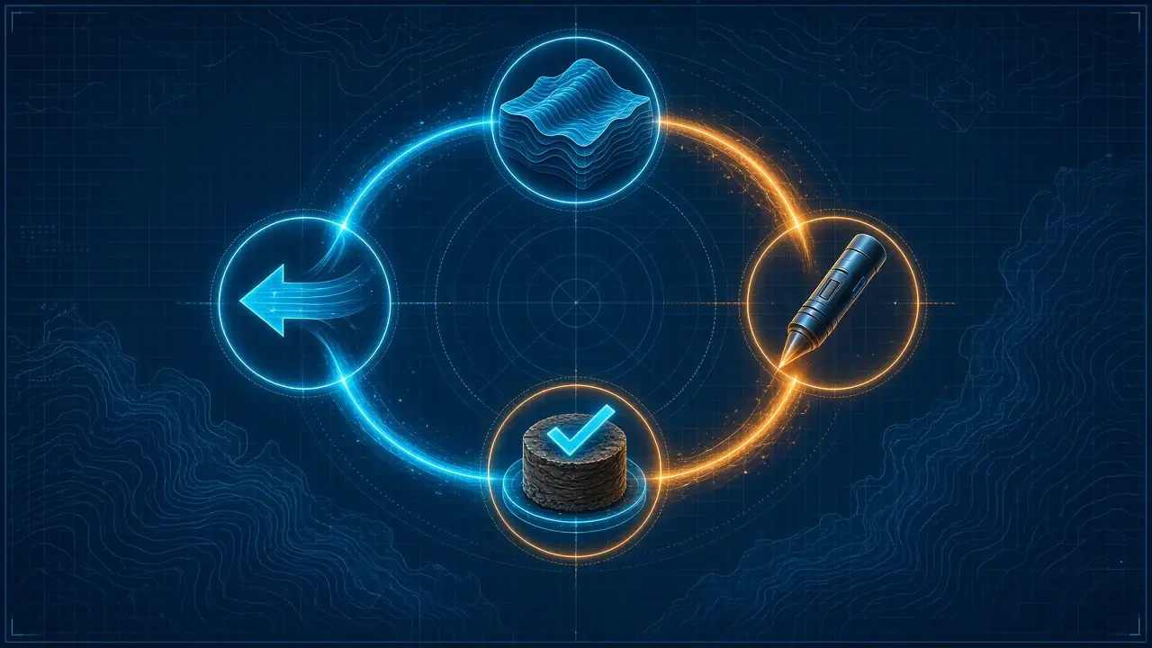
The Model → Sensor → Evidence → Feedback loop improves priorities.
Model → Sensor → Evidence → Feedback
The loop that makes the system integrated
The model identifies habitat and GPS targets. The sensor (TRUFON HUNT) performs field detection at the target. Evidence is recorded with its location. Feedback improves the priority of the next targets.
A habitat score is a field priority, not a probability. The field result is confirmed by TRUFON HUNT measurement and excavation — which is why our field performance is expressed as an 85% successful excavation rate, i.e. through targeted excavation results.
What you receive
In the customer's hands
- Species habitat layers for your licensed area
- Candidate and priority GPS targets
- Offline target map and navigation in the mobile app
- Customer portal: account, licence, areas, packages, devices, app and support
- Optional TRUFON HUNT field instrument
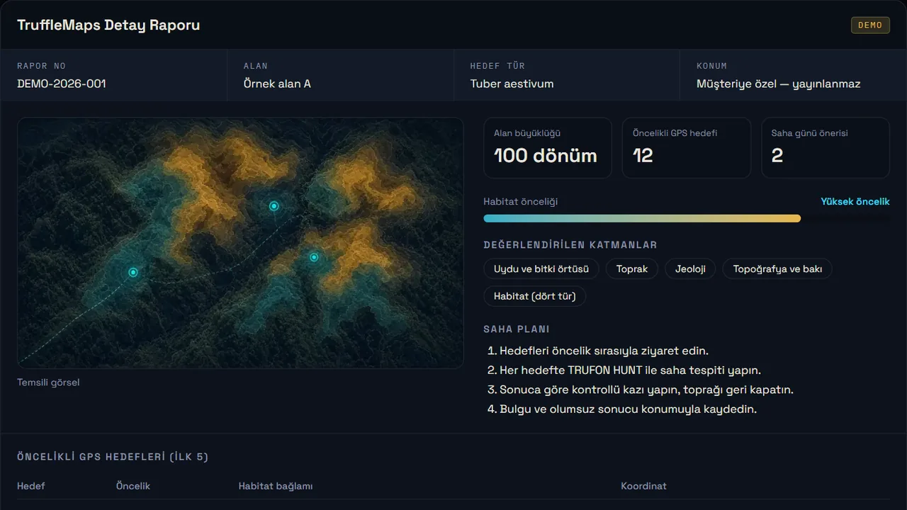
- Example output: sample detailed report
Let's start on your land
Location, area size and target species are enough.