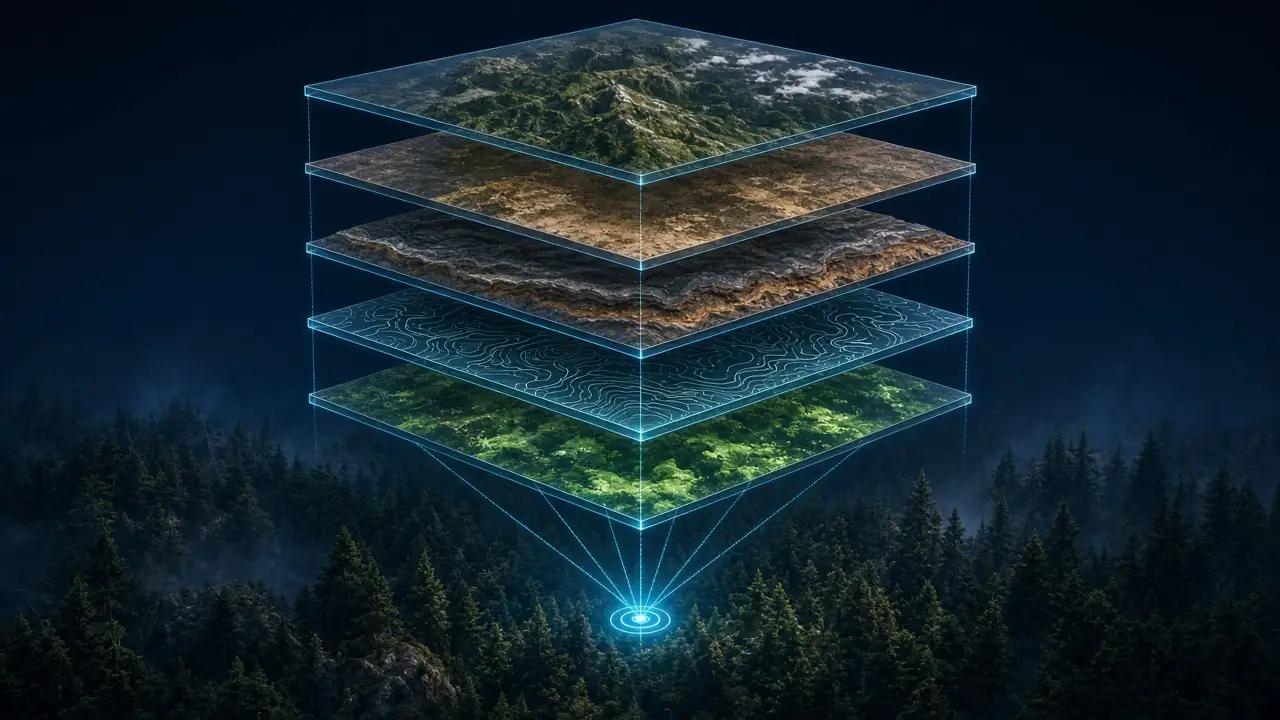
Multi-source data
Satellite, soil, geology and topography combined in one analysis.
World-first integrated truffle discovery technology. Patent application filed — Application No: 2026/014888.
TruffleMaps and TRUFON HUNT form the world's only integrated truffle discovery system combining satellite, soil, geology, habitat intelligence, real-time GPS targets and field detection.
The technology combines geospatial science, software, sensor technology and field work.
Components
Satellite, soil, geology and topography combined in one analysis.
Layers are read together; habitat suitability is computed in species context.
Separate layers for Tuber aestivum, magnatum, melanosporum and borchii.
The points to check first across large land are prioritised.
Field detection at the target, with measurement that accounts for ambient conditions and a geo-referenced record.
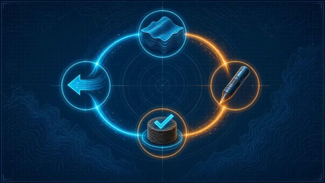
Model → Sensor → Evidence → Feedback; every field result improves the system.
Patent
Patent Application No: 2026/014888. The invention combines a habitat model, a field sensor, evidence capture and a feedback loop in one framework.
TruffleMaps is the result of founder and inventor Cem Merter's original discovery, field work, software development and scientific/technical research.
Data security
The habitat model runs on TruffleMaps servers. Customers receive only their licensed area's data, through the signed mobile app and device licence.