
TruffleMaps Detailed Report
DEMO- Report no
- DEMO-2026-001
- Area
- Sample area A
- Target species
- Tuber aestivum
- Location
- Customer-only — not published
- Area size
- 10 ha
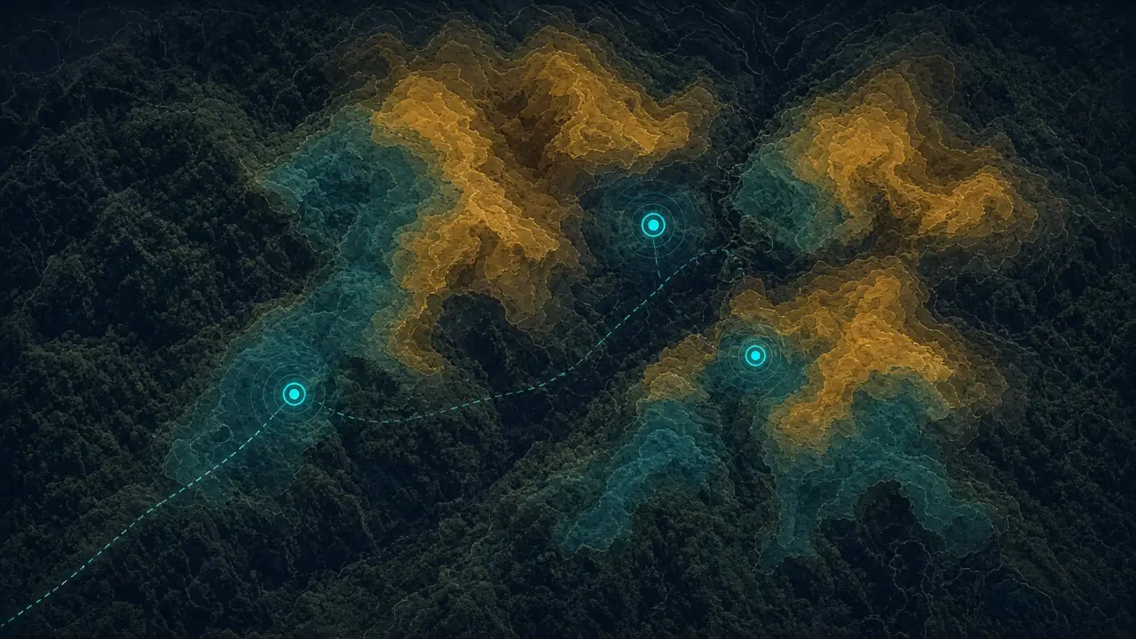
- Priority GPS targets
- 12
- Suggested field days
- 2
Habitat priorityHigh priority
Layers evaluated
- Satellite and vegetation
- Soil
- Geology
- Topography and aspect
- Habitat (four species)
Field plan
- Visit targets in priority order.
- Run TRUFON HUNT field detection at each target.
- Excavate carefully based on the result and refill the soil.
- Record findings and negative results with location.
Priority GPS targets (top 5)
| Target | Priority | Habitat context | Coordinates |
|---|---|---|---|
| H-01 | High | Limestone, oak, north aspect | In customer portal |
| H-02 | High | Drained slope, humus | In customer portal |
| H-03 | High | Forest edge, shade | In customer portal |
| H-04 | Medium | Mixed hornbeam, moist | In customer portal |
| H-05 | Medium | Clearing transition | In customer portal |