
A New Era in Truffle Hunting
TARGET ON THE MAP. DETECTION IN THE FIELD.
TruffleMaps identifies priority habitat and GPS targets. TRUFON HUNT detects truffles in the field.
- Successful Excavation Rate
85%
Successful Excavation Rate
Based on targeted excavation results in TruffleMaps/TRUFON field work.
- GPS targets with Tuber aestivum
3/3
GPS targets with Tuber aestivum
Real field test: findings at all three preselected targets.
- Patent application filed
2026/014888
Patent application filed
Patent Application No: 2026/014888
01 — World-first
The World's Only Integrated Truffle Discovery System
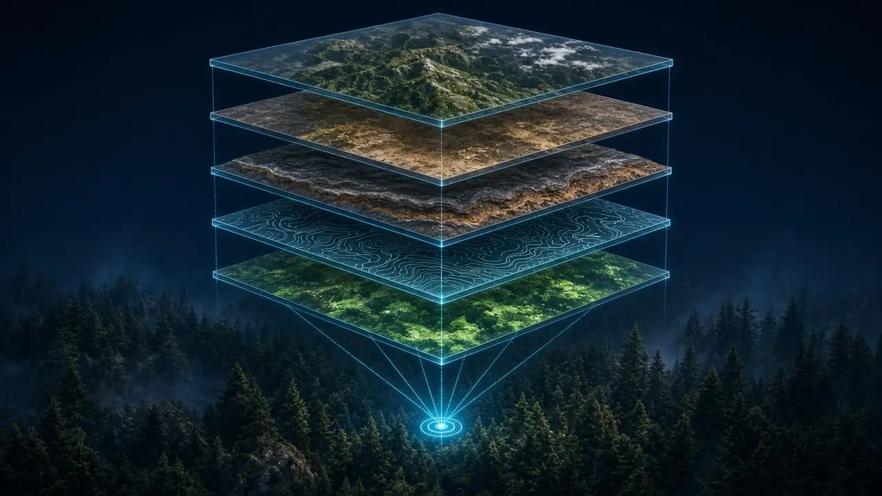
TruffleMaps and TRUFON HUNT form the world's only integrated truffle discovery system combining satellite, soil, geology, habitat intelligence, real-time GPS targets and field detection.
Traditional truffle hunting means walking large areas with little direction. TruffleMaps first tells you where to look; TRUFON HUNT then performs detection in the field at that point. Map and field instrument work in one workflow — that is what makes the system integrated.
- Satellite data — vegetation, moisture and land-cover signals
- Soil data — texture, pH and drainage context
- Geology — limestone and parent-rock suitability
- Topography — slope, aspect and elevation
- Habitat and species analysis — Tuber aestivum, magnatum, melanosporum and borchii
- GPS targets + TRUFON HUNT field detection — go to the target, detect in the field, record the excavation
02 — Products
What do we sell?
Four parts, one system. Full product information, workflow, species and package contents are on the Products page.
 Illustrative image
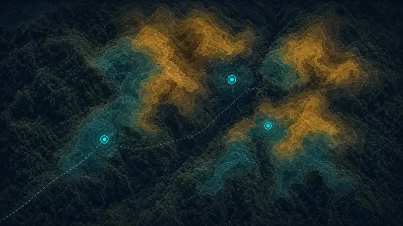
TruffleMaps Platform
Analyses your land with satellite, soil, geology and topography data and produces species habitat layers and priority GPS targets.
Explore the platform →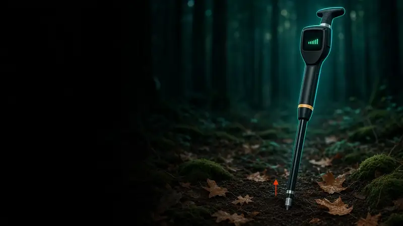 Illustrative image
TRUFON HUNT
The field-detection product that works at TruffleMaps GPS targets — turning a target on the map into evidence in the field.
Explore TRUFON HUNT →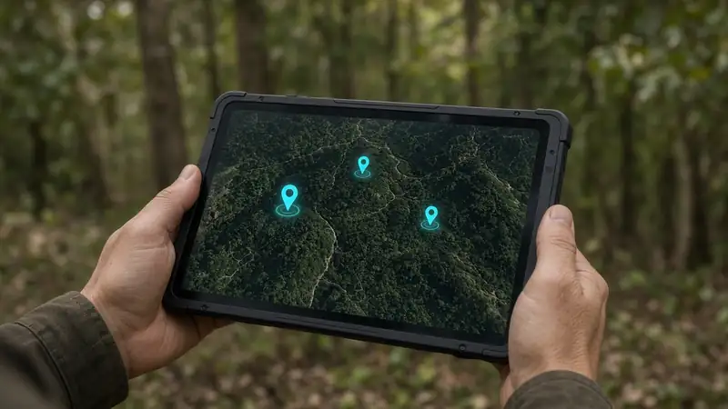 Illustrative image
Mobile field app
Opens your licensed area's target layers offline, guides you to the target by GPS and records field results.
Mobile app →03 — How it works
From data to excavation: how a target is found
01
Data layers
Satellite, soil, geology and topography are combined for your area.
02
Habitat and species analysis
Suitability layers are computed for four truffle species.
03
GPS targets
The points to check first across large land are prioritised.
04
Navigate to target
The mobile app guides you to the point, offline.
05
TRUFON HUNT field detection
Detection is performed at the target and evidence is recorded.
06
Excavate, record, feed back
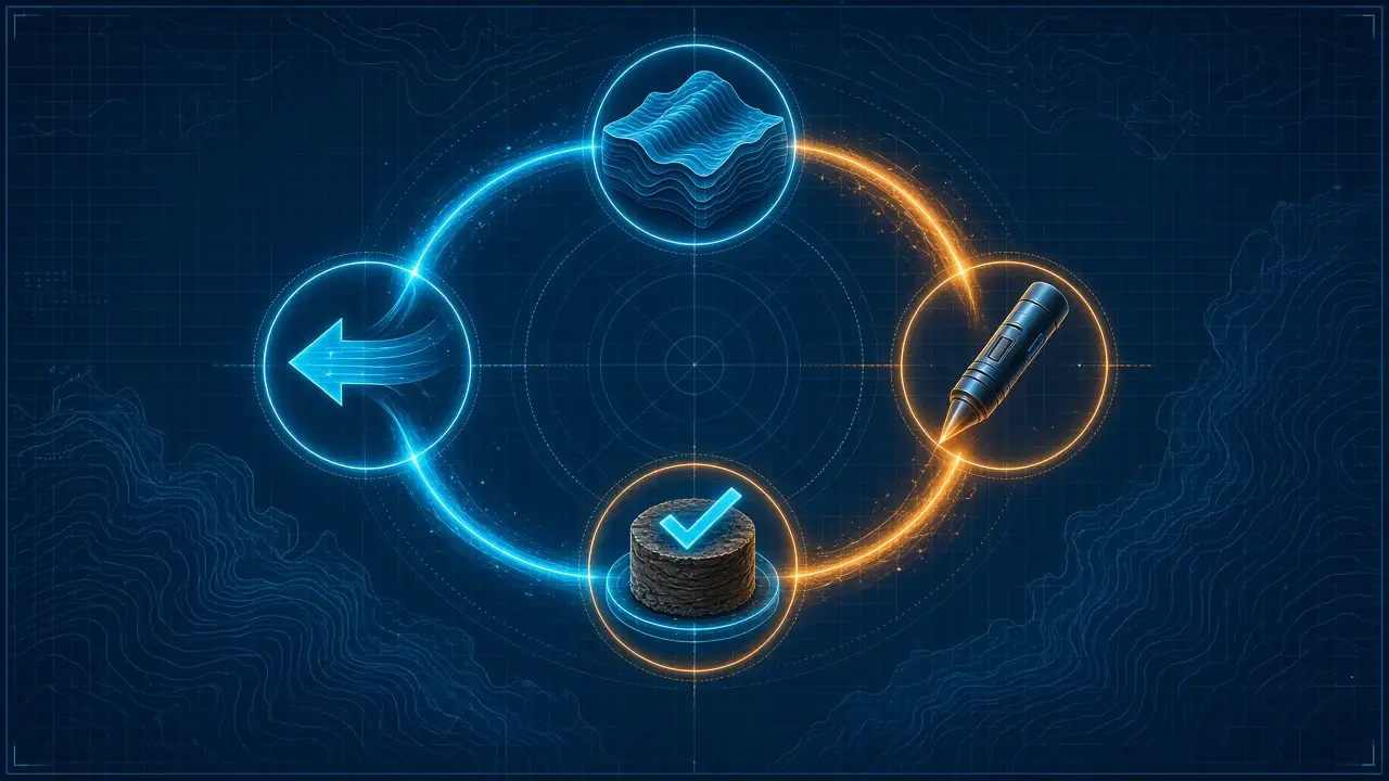
The result is logged; the Model → Sensor → Evidence → Feedback loop runs.
04 — Field evidence
Real field test: truffles at all three GPS targets
In a real field test, Tuber aestivum was found at all three preselected GPS target locations.
The test covered three different working areas; targets were set by TruffleMaps before the field visit and verified on site with the truffle dog Tokyo.
- 85% successful excavation rate — based on targeted excavation results in TruffleMaps/TRUFON field work.
- Real GPS target, real field visit, real excavation, real truffle.
05 — Patent and technology
Patent application filed
Patent Application No: 2026/014888. TruffleMaps and TRUFON HUNT combine a habitat model, a field sensor, evidence capture and a feedback loop in one invention framework.
The system was invented and developed by scientist and inventor Cem Merter through field work, software development and technical research. Details: TRUFON HUNT and TruffleMaps patent technology.
06 — Who it is for
From farms to institutions, landowners to truffle hunters
Truffle farms
Evaluate wider land, identify priority GPS targets, detect with TRUFON HUNT and record findings.
Use cases →Landowners and investors
Data-driven truffle potential assessment before investment. Habitat analysis is not a guaranteed financial return.
Pre-investment analysis →Institutions and research
Habitat discovery in forest areas, field verification and auditable records.
Institutional use →07 — Knowledge
Truffle prices and guides
Get your land analysed
Share your location, area size and target species; the TruffleMaps team will reply with the right setup (platform analysis and/or TRUFON HUNT).