
Target on the Map, Detection in the Field: How TruffleMaps and TRUFON HUNT Work Together
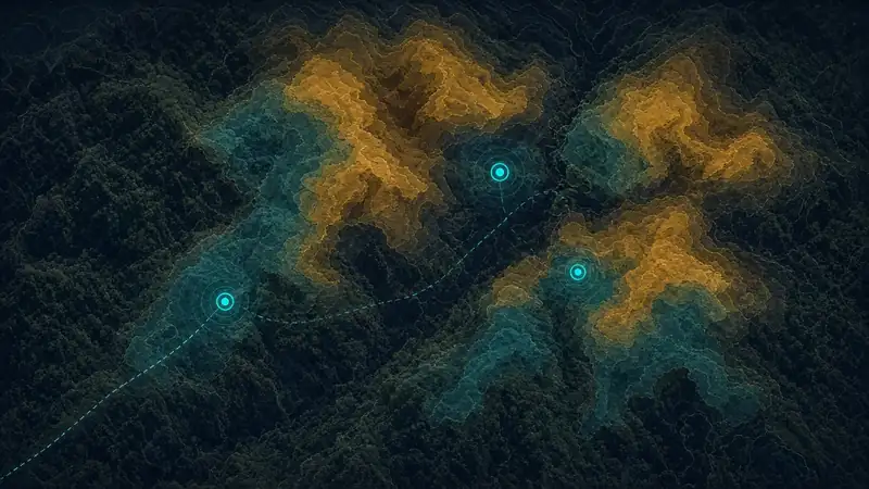
TARGET ON THE MAP. DETECTION IN THE FIELD. Those two sentences sum up TruffleMaps. TruffleMaps and TRUFON HUNT form the world's only integrated truffle discovery system combining satellite, soil, geology, habitat intelligence, real-time GPS targets and field detection.
The workflow at a glance
Data → Habitat → GPS → Field → TRUFON HUNT → Excavation → Evidence → Feedback
Field work without a map is random; a map without field detection is only a suggestion. Together they make truffle discovery targeted and measurable.
1. Data
It starts with your property boundary. Satellite (vegetation, moisture, land cover), soil (pH, texture, drainage), geology (parent rock, limestone suitability) and topography (slope, aspect, elevation) layers are collected.
2. Habitat
Layers are read together, producing separate habitat layers for Tuber aestivum, magnatum, melanosporum and borchii. A habitat score shows field priority; it is not a probability.
3. GPS targets
Candidate and priority GPS targets are derived. You do not just get a map — you get a target list to follow in the field, loaded into the mobile app as a licensed area package.
4. Field
The app works offline in the forest and guides you to each target. A field day becomes an ordered target round rather than a random walk.
5. TRUFON HUNT
At the target, TRUFON HUNT performs field sensing and records the result with its location. This is where the target on the map becomes evidence in the field.
6. Excavation
Based on the detection result, a careful excavation is made and the soil is restored afterwards — protecting habitat protects future harvests.
7. Evidence
Findings and negative results are both recorded with location, date, species and outcome — an auditable trail for institutions and traceable provenance for sellers.
8. Feedback
Records flow back into the model. The Model → Sensor → Evidence → Feedback loop improves the priority of the next targets.
Results
TruffleMaps/TRUFON field work using this workflow has achieved an 85% successful excavation rate, based on targeted excavation results. In a real field test, Tuber aestivum was found at all three preselected GPS target locations — see Imagine a Treasure Map.
Why an integrated system?
| Map only | Field device only | TruffleMaps + TRUFON HUNT |
|---|---|---|
| Shows where to look | Doesn't know where to look | Sets the target and detects at it |
| Doesn't verify | Inefficient on large land | Turns large land into a target list |
| Doesn't learn | Records often missing | Every result recorded, model updated |
Patent application
A patent application has been filed for this integrated approach: Patent Application No: 2026/014888 (patent technology).
What customers receive
Species habitat layers and priority GPS targets for the licensed area, offline navigation in the mobile app, the customer portal, and the TRUFON HUNT field instrument in the TRUFON HUNT package. See packages, products and how it works, or request access.